Winter in June? Heavy Snow Expected to Hit Rockies Before July Fourth
Winter in June Heavy snow expected – A surprising late-June snowstorm is set to blanket parts of the northern Rocky Mountains, bringing frigid temperatures, strong winds, and significant snowfall to regions like Idaho, Montana, and Wyoming. Forecasters have raised alerts for hazardous conditions in higher elevation zones, emphasizing the unusual nature of the event as it threatens to disrupt travel plans ahead of the Fourth of July holiday.
Storm System Details
The unusual weather pattern is attributed to a deep upper-level trough that has moved into the Rockies and Intermountain West, drawing in an unseasonably cold air mass. This system is expected to lower temperatures by 15 to 20 degrees below normal in some areas, creating conditions more typical of winter months. The USA TODAY Network previously highlighted how this atmospheric setup is causing extreme cold to linger longer than usual.
As the storm progresses, it will bring a mix of precipitation, including showers and scattered thunderstorms, which may temporarily reduce visibility. Some regions could also experience gusty, erratic winds that complicate driving conditions. Embedded bursts of heavier rain are anticipated to add to the chaos, particularly in Glacier National Park, where flash flooding risks are being monitored overnight on June 28.
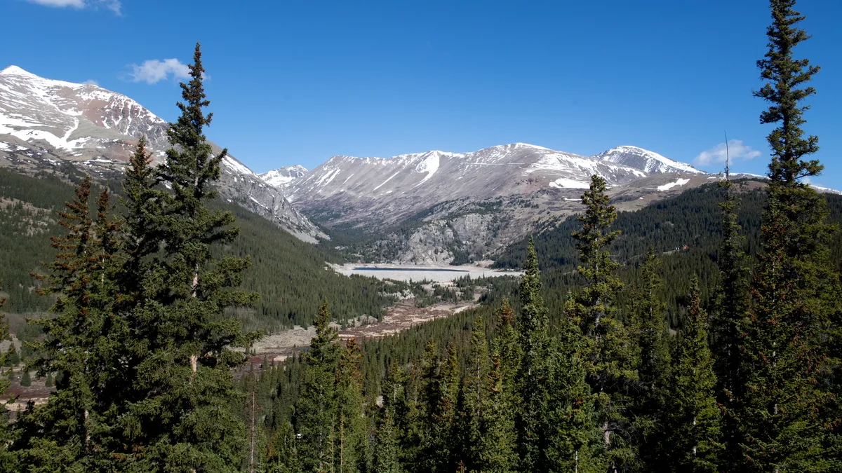
Regional Impacts
Montana and Idaho are expected to bear the brunt of the snowfall, with the most significant accumulations in mountainous areas. The National Weather Service predicts that regions such as southwestern Montana and central Idaho could see 4 to 8 inches of snow, with the highest elevations possibly receiving up to 12 inches. These levels are well above the typical June snowfall, which is rare in such regions.
In northwest Beaverhead County, Montana, the storm is forecast to deliver heavy, wet snow near pass level, with additional snowfall exceeding 6 inches above pass level. This could lead to challenging travel conditions, especially for those venturing into the backcountry. The Georgetown Lake region is also under threat, with snowfall likely to create slippery and hazardous terrain.
Wyoming, meanwhile, will see snowfall primarily in higher elevations, with most mountainous areas expected to accumulate 4 to 6 inches over the next few days. While the snow may not be as heavy as in Montana, the cold and wind will still pose challenges for drivers and hikers. The storm is set to persist through June 29, with weather alerts active until midday or later, depending on location.
Travel Risks and Safety Advice
Forecasters warn that the combination of cold temperatures, strong winds, and dense snowfall could create dangerous conditions, increasing the risk of hypothermia and road closures due to fallen trees. “Persons should consider delaying travel across the backcountry and higher elevations,” advised the National Weather Service. “If travel is absolutely necessary, consider taking a winter storm kit along with you, including such items as tire chains, booster cables, flashlight, shovel, blankets and extra clothing.”
“Also take water, a first aid kit, and anything else that would help you survive in case you become stranded.”
The advisory underscores the need for preparedness, as the storm’s effects could last into the weekend. In addition to snow, the system may bring gusty winds that will peak early on June 28, particularly in north-central Montana. The Great Falls weather service reported that wind speeds could reach over 50 mph, creating difficult cross-winds that may challenge even experienced drivers.
For those in the path of the storm, the potential for icy roads and reduced visibility adds to the danger. The National Weather Service also noted that snow levels may briefly lower, leading to minor slushy accumulations in areas like Homestake and MacDonald passes. This could create slippery conditions that persist for several hours, requiring caution for all road users.
Broader Weather Implications
While the focus of the storm is on the Rocky Mountains, its influence extends beyond the region. The weather service mentioned that sweltering days are expected in the East and Midwest as the system moves eastward, creating a stark contrast between the cold in the West and the heat in other parts of the country. This divergence highlights the complex nature of weather patterns during the summer months.
Residents in affected areas are being urged to stay informed and monitor updates from the National Weather Service. The storm’s unexpected arrival serves as a reminder that summer weather can still be unpredictable, particularly in regions with high elevation. Travelers planning trips around the Fourth of July are advised to adjust their schedules and prepare for the possibility of winter-like conditions even in June.
With snowfall and cold temperatures expected to linger, the impact on local communities could be significant. Schools, businesses, and transportation services may need to implement contingency plans, especially in areas where road closures are likely. The National Weather Service is working closely with local authorities to ensure that emergency measures are in place to handle the situation.
As the storm system continues to affect the region, it’s important to recognize the broader implications for the upcoming weeks. The unusual weather may serve as a precursor to longer-term climate shifts, with meteorologists closely watching for patterns that could indicate a more active summer season in the Rockies. For now, however, the immediate concern remains the hazardous conditions that will persist through June 29.
Residents in Montana’s north-central regions are already bracing for the storm’s effects, with the Great Falls office reporting strong winds as a key factor in the forecast. These conditions, combined with snowfall, could lead to widespread disruptions, particularly for those traveling through mountain passes. The National Weather Service is urging drivers to take precautions, such as checking road conditions and having emergency supplies on hand.
As the storm moves through, it will also bring additional challenges in the form of scattered thunderstorms and light rain. While these may not directly impact snowfall amounts, they could contribute to flooding risks in certain areas. The National Weather Service has highlighted that the heavy rain in Glacier National Park could lead to flash flooding, emphasizing the need for vigilance in the region.
Overall, the late-June snowstorm is a rare but impactful event that underscores the variability of weather patterns. Whether it’s the sudden drop in temperatures, the heavy snowfall, or the combination of wind and rain, the conditions will test the resilience of both infrastructure and individuals. With the storm set to last through the end of the week, it’s a timely reminder that even in summer, winter can still make an appearance in the Rocky Mountains.